When a chatbot packs your backpack: the Mount Shasta rescue is a product-design failure, not a Gemini gotcha

🕒 Published on Zendoric: September 12, 2026 · 13:31
✨ AI-generated · how it's made
Three hikers spent a night in a canyon on Mount Shasta after planning their climb with Google's Gemini, which the sheriff's office says told them to carry far less food and water than they needed. The interesting part isn't that a chatbot got it wrong — it's that it got it wrong in the confident, median-case register it uses for everything else.
📚 Go deeper
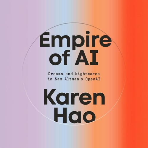
The definitive piece of investigative journalism on OpenAI: 260+ interviews, the clash between safety and speed, and the attempted firing of Sam Altma
As an Amazon Associate, Zendoric earns from qualifying purchases; the price does not change for you. · all our recommended books →
Three hikers were rescued from California's Mount Shasta this week after using Google's Gemini to plan the expedition, according to a Siskiyou County sheriff's office report cited by the Chicago Tribune and relayed by TechCrunch. The timeline is the story: the group set off at 3 a.m., and although local guidance tells climbers to turn around if they haven't summited by noon, they reached the top at 7 p.m. They then tried to descend in the dark, called the sheriff's office asking for directions, and spent the night in Mud Creek Canyon before Forest Service rangers and volunteers brought them out the next morning.
The sheriff's specific complaint about the chatbot is narrow and worth quoting precisely: the hikers "were advised by Gemini to bring far less food and water than their group required, especially when their planned 8-hour ascent became a multiday ordeal." TechCrunch is careful to note it isn't clear Gemini can take all the blame, and neither should we — pushing to a 7 p.m. summit seven hours past the turnaround window is a human decision no model made for them. The official advice that followed is the durable part: call the local USFS Mount Shasta ranger station before your trip, and never rely solely on AI for planning.
The failure mode here has a name, and it isn't hallucination. It's calibration under asymmetric consequences. Ask a general assistant how much water an eight-hour ascent needs and you get a competent central estimate for a median hiker on a median day. Wilderness planning is not a median-case problem — you pack for the tail. An extra liter costs you a kilogram; a missing liter costs a helicopter. Models tuned to be helpful and concise optimise for the plausible middle, not for the safety margin, and they deliver it in exactly the same assured tone they use for a pasta recipe.
There's a second, subtler loss. The open web at least carried its own metadata: a ranger station page comes attached to an institution, a liability and local knowledge about this mountain in this month. A chat answer strips all of that out and reads *more* authoritative for having done so. That's why "AI can make mistakes, check important info" is not a fix. The real fix is routing: for high-consequence physical planning — backcountry, avalanche, weather, dosage — the right product behaviour is to refuse the confident number and hand over the authoritative live source, or to be wired into it directly.
Our reading: we remain genuinely optimistic about where this goes, and the optimism is not sentimental. An assistant connected to live snowpack, weather windows, permit data and a group's actual pace could make the backcountry measurably safer than a decade of printed guidebooks. None of that is science fiction; it's plumbing, and it will get built. The short-term problem is the gap between what these systems could look up and what they will confidently assert without looking anything up — and that gap is where people get hurt. The lesson isn't "don't use AI to plan a hike." It's that an AI that answers everything is worse than an AI that knows when to give you a phone number. The sheriff's warning will age into a general design principle.
📚 Go deeper
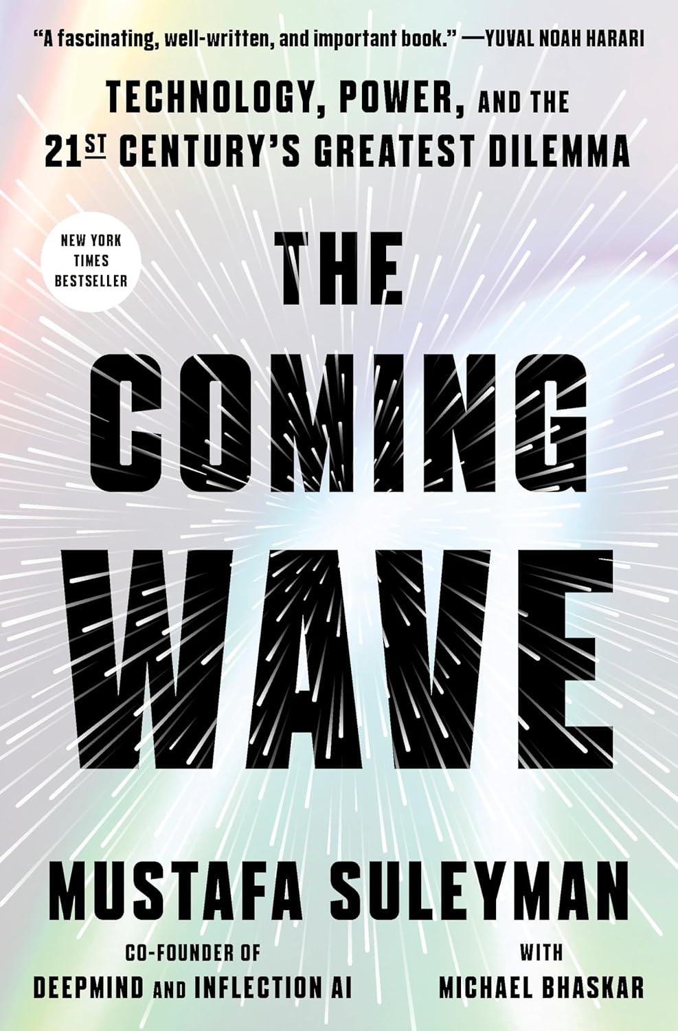
DeepMind co-founder on the dilemma of containing technologies that do not want to be contained.
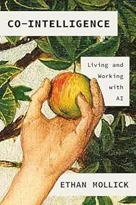
The best starting book if you're not technical: a Wharton professor explains how to work WITH AI — when to delegate, when to supervise, when to keep i
As an Amazon Associate, Zendoric earns from qualifying purchases; the price does not change for you. · all our recommended books →
🔗 Related on Zendoric
- Mount Shasta rescue shows the real AI planning risk isn't wrong answers — it's confident ones with no margin · 2026-09-10
- Mount Shasta rescue shows the real AI risk isn't wrong facts — it's advice with no margin for error · 2026-09-11
- Mount Shasta rescue shows the real AI risk isn't hallucination — it's outsourced judgment · 2026-09-13