Pokémon Go's real treasure was never the pokémon: it's ten years of real-world maps, now used by military drones

🕒 Published on Zendoric: July 15, 2026 · 08:41
✨ AI-generated · how it's made
The scans that millions of Pokémon Go players made of streets and squares over a decade have become one of AI's most coveted assets in 2026: they feed delivery robots and, through a contract with the U.S. Army, navigation systems for military drones.
📚 Go deeper

AI as the latest chapter in the history of information networks, from gossip to the printing press to the algorithm.
As an Amazon Associate, Zendoric earns from qualifying purchases; the price does not change for you. · all our recommended books →
By Quartz · July 15, 2026.
When Pokémon Go launched ten years ago, the dominant narrative was that of a passing fad: download spikes, memes, accidents from walking while looking at the phone and, by September 2016, a drop of four-fifths of US players. That narrative was incomplete. Since 2021, Niantic invited the players who stayed to scan building facades, squares, parks and stations with their phone camera in exchange for in-game rewards. By 2024 the company claimed to be receiving nearly a million new scans per week. The result, as Quartz reports, is a dataset that no company could have built any other way at that cost: images of a single place from multiple angles, at different times, seasons and weather conditions, captured by people who were stationary and attentive, not by a satellite looking down or a Street View car that passes only once.
The value of that archive has been revealed just as the AI industry needed it. In May last year, Niantic sold its games —including Pokémon Go— to Scopely, a mobile publisher majority-controlled by the Saudi sovereign wealth fund (PIF), for 3.5 billion dollars. But Niantic kept the data and the models trained on it, and took them to a new company, Niantic Spatial, whose first product is a visual positioning system capable of locating a camera with centimeter precision using only a few images of the surroundings. It is, in essence, a model of the physical world trained with on-foot street memory, at a time when the sector is pursuing exactly that: systems that understand space, not just language.
From there to practical application is a short step, and one already taken twice. Niantic Spatial has partnered with Coco Robotics, which operates nearly a thousand last-mile delivery robots in cities across the United States and Europe, to solve a very real problem: in dense blocks GPS bounces between buildings and generates positioning errors of more than fifty meters, enough for a robot to get the wrong doorway. The model trained on players' scans corrects that. In December came the second partnership, with Vantor, which develops spatial detection software for drones —including military ones— in environments where GPS is denied or jammed, such as active conflict zones. Vantor announced this year a contract with the US Army worth up to 217 million dollars. The same capability that makes a robot stop at the correct doorway is, technically, the one that helps a drone stop over the correct target.
Here it is worth separating two things precisely, because it is easy to conflate them. One is the technical capability, which is genuine and part of a larger, positive trend: so-called world models —systems that learn the structure of physical space from massive visual data— are one of the most promising frontiers of today's AI, and this case demonstrates that a dataset built for leisure can prove more valuable for autonomous navigation than traditional satellite mapping. That same technology, applied to delivery robots, assisted surgery or autonomous vehicles, is the kind of silent infrastructure that over time makes services cheaper and frees human labor from mechanical tasks. The other issue, a different one, is consent and the final destination of the data. The terms of service that players accepted spoke of improving the game and mapping; they did not mention drones. Scopely, the company that now operates Pokémon Go and continues to collect location and movement data from more than 100 million monthly players, is majority-controlled by the sovereign wealth fund of Saudi Arabia, a country that human rights organizations have repeatedly documented using surveillance infrastructure against journalists, activists and dissidents. Quartz does not claim that an operational connection exists between that surveillance infrastructure and Pokémon Go data —there is none documented—, but it does rightly point to the structural discomfort: whoever collects location data from a hundred million people under a fund with that record offers no reassuring guarantees about future uses.
Our reading is that this case is an almost perfect example of a dynamic we have been observing in dual-use AI: the distance between "what a piece of data was collected for" and "what it will end up serving" has become structurally impossible for the user to predict, and increasingly easy to exploit for whoever holds the dataset. There is no need to imagine dark scenarios of state surveillance for the headline to already be unsettling: a free entertainment app ended up financing, without anyone knowing or explicitly consenting, a military contract worth more than 200 million dollars. It is the same logic we already saw with the militarization of dual-purpose AI and with models turned into geopolitical assets: the real value of these technologies rarely lies in the public-facing product, but in the data and positioning infrastructure that sits beneath it. In the short term, this calls for clearer regulation on the reuse of consumer data and transparency about who the companies that safeguard it are sold to —the current legal vacuum allows exactly what happened here—. In the long term, however, the underlying technology, AI's understanding of physical space, is a genuinely useful piece of the path toward safer and more capable autonomous systems, from delivery robots to robotic assistance in healthcare. The challenge is not to halt that capability, but to govern who decides its uses and under what consent, something that in this case, quite simply, did not happen.
📚 Go deeper
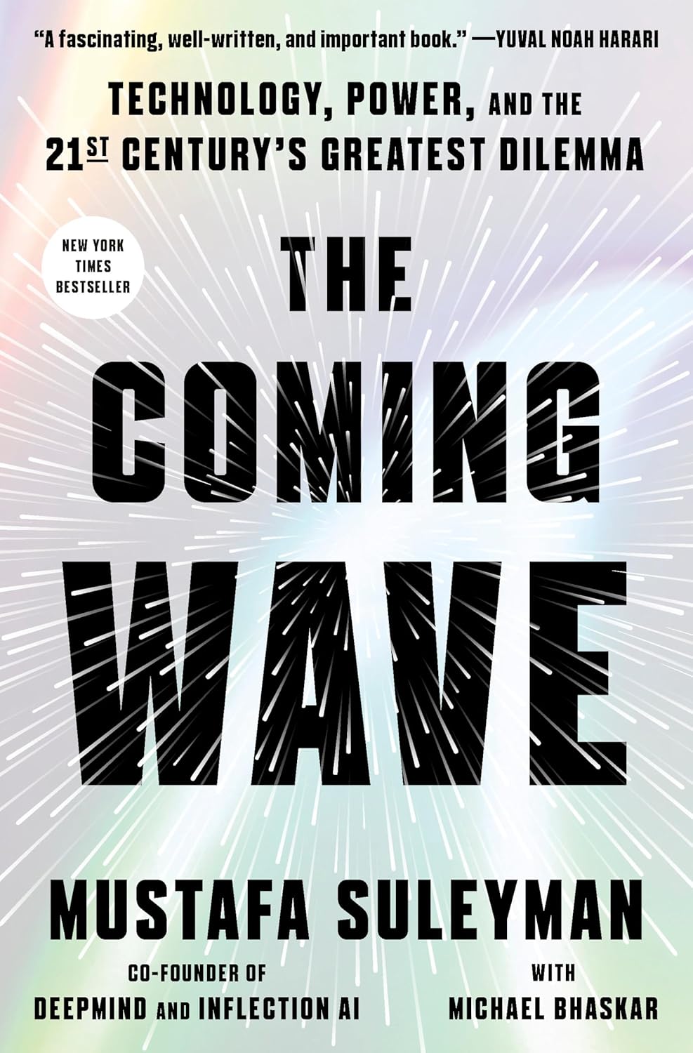
DeepMind co-founder on the dilemma of containing technologies that do not want to be contained.

The book that started the existential-risk debate and that half the industry still cites.
As an Amazon Associate, Zendoric earns from qualifying purchases; the price does not change for you. · all our recommended books →
🔗 Related on Zendoric
- The Pentagon centralizes command of its drones: military AI enters its industrial phase · 2026-07-02
- Robots against robots: the US proposes a record defense budget to win the autonomous race · 2026-07-09
- 1010Benja uses Suno hundreds of times on one song and proves AI music doesn't have to sound like AI · 2026-07-20